Transformed Ecological Landscape

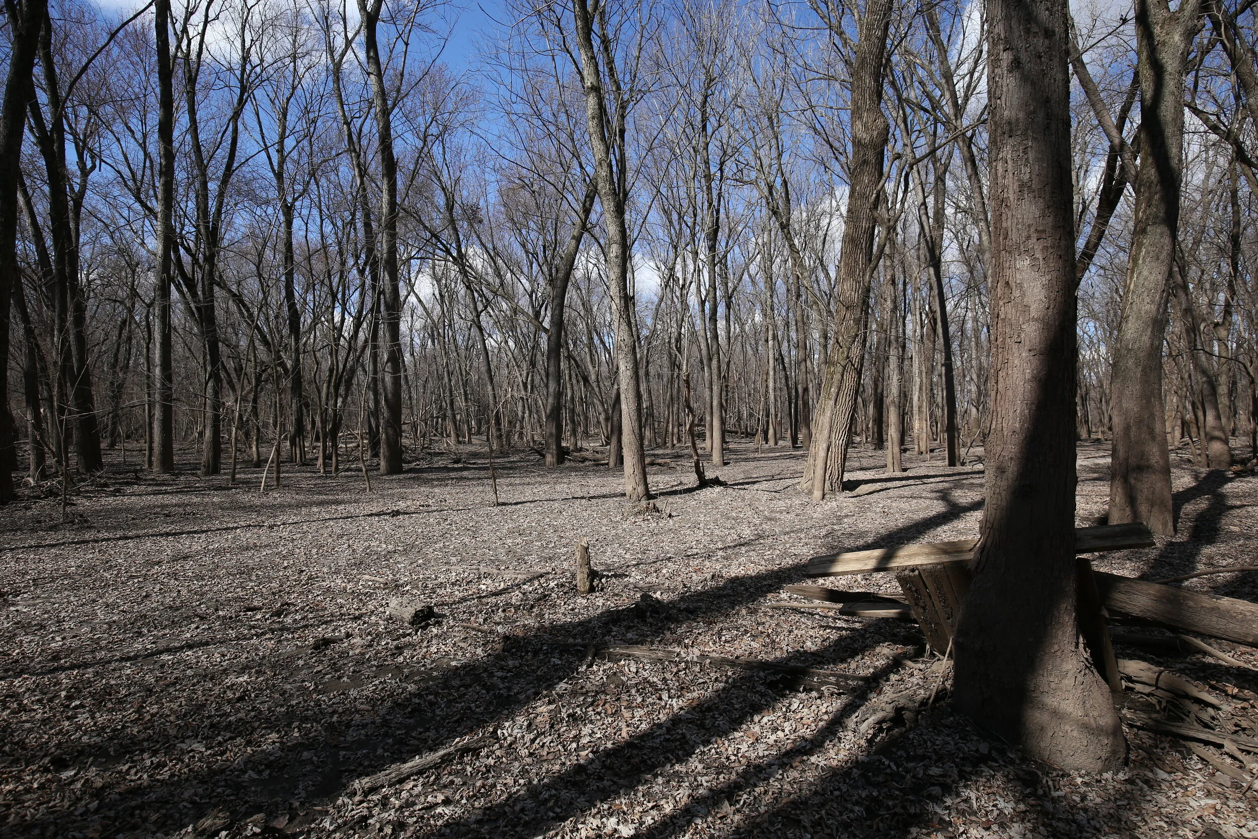
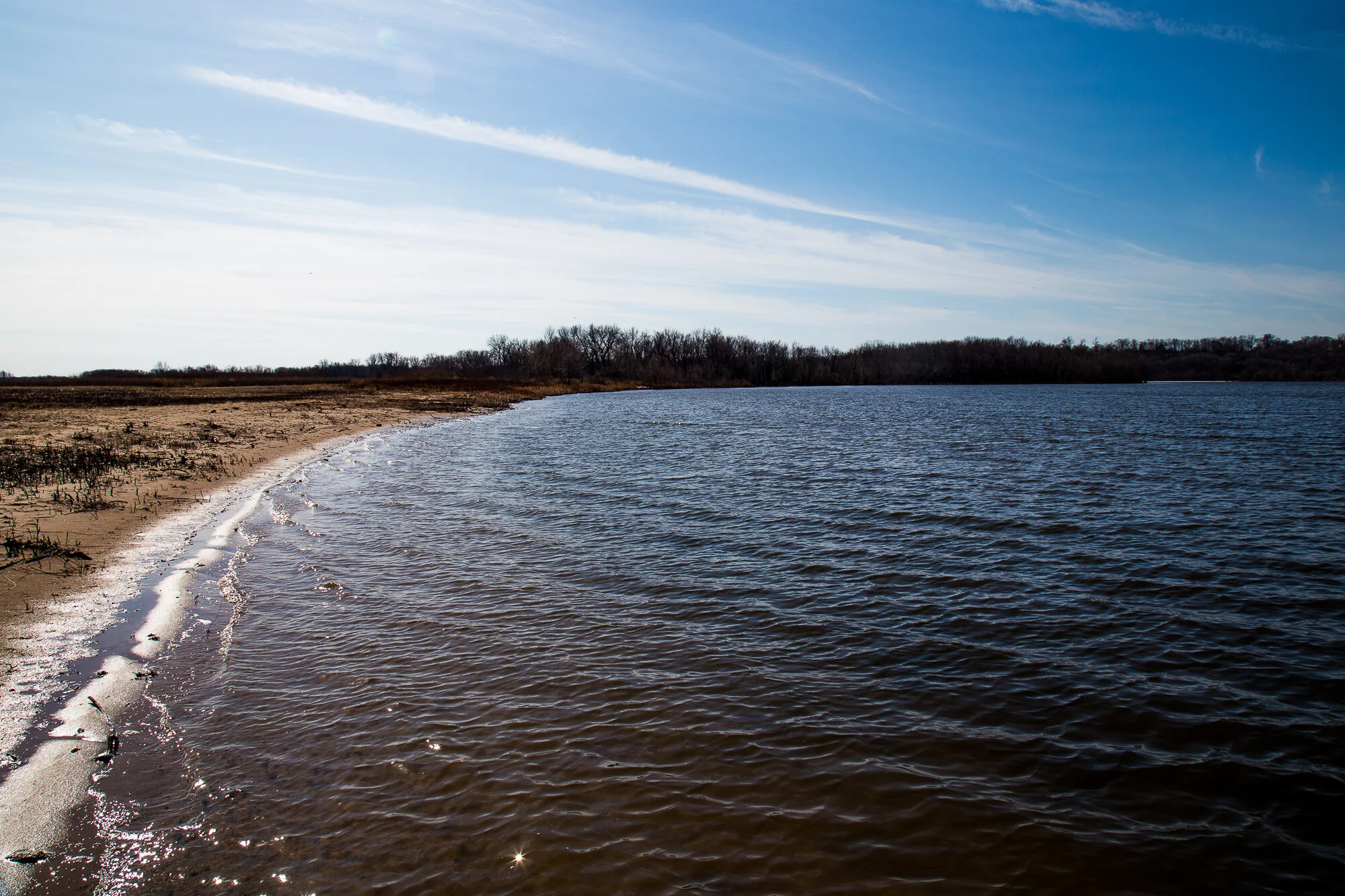
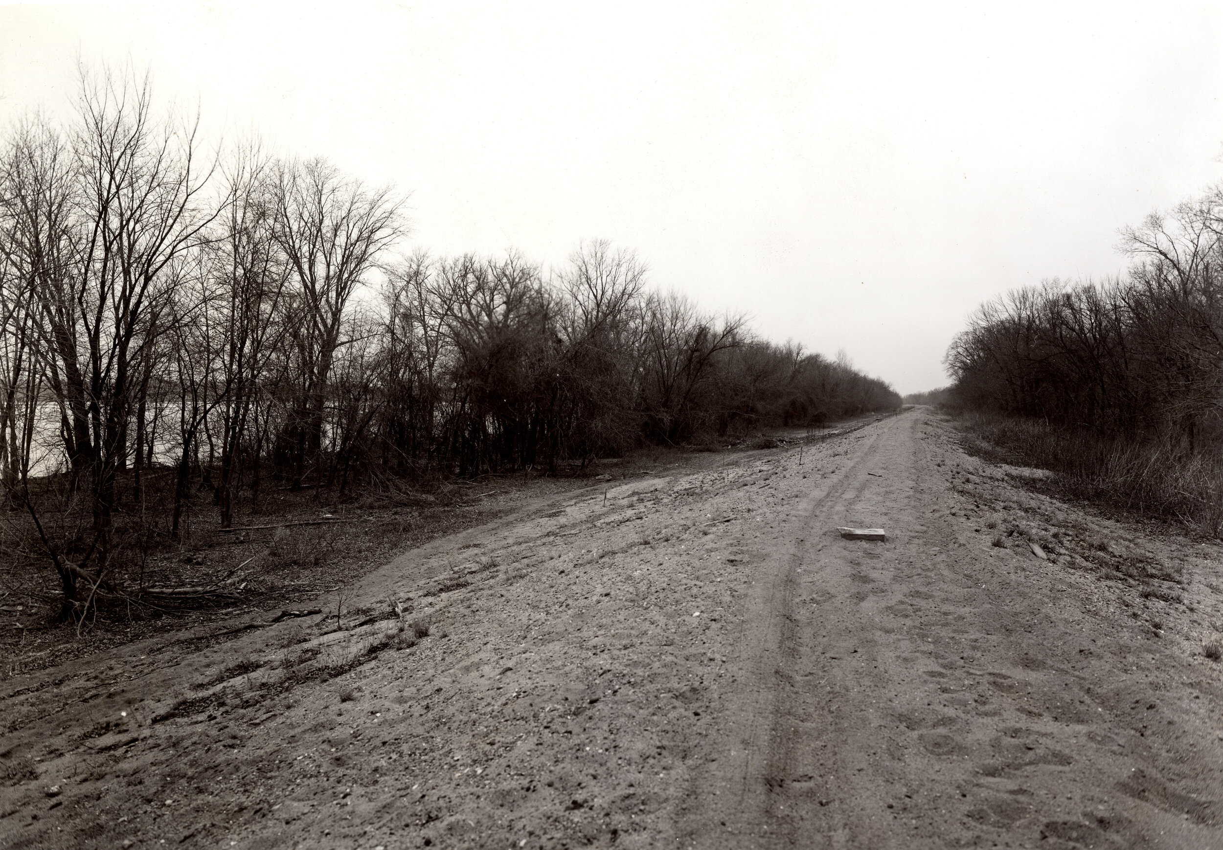
The 9-foot project initiated an ecological shift along the banks and islands of the Upper Mississippi River. Historically, the Upper Mississippi floodplain forests consisted of stands “varying from sapling to mature growth (that) contained scores of very large, decadent, and often dying silver maples, with an occasional elm, sycamore, and pin oak of similar type” (Yeager 1949, 36-37). Maple gave way to elm, pecan, hackberry, cedar, cottonwood, ash, oak, and walnut at slightly higher elevations where spring floods receded to dry summer soil. Ground cover was dominated by species that performed well under wet conditions - buttonbush and black willow.

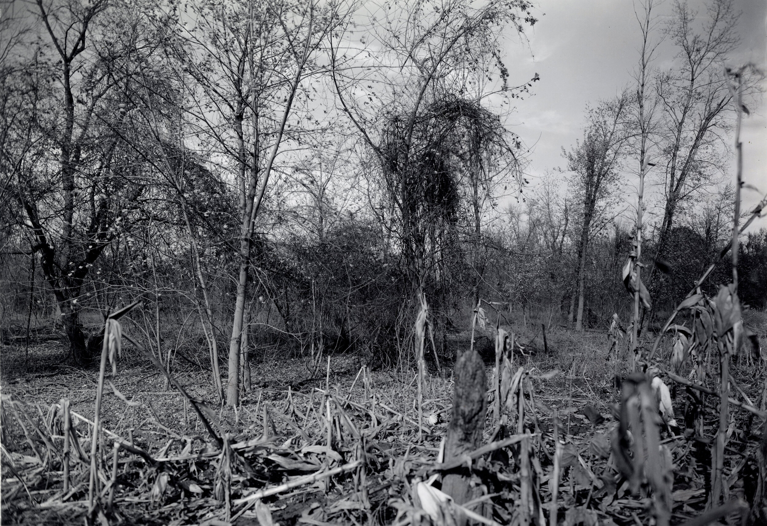
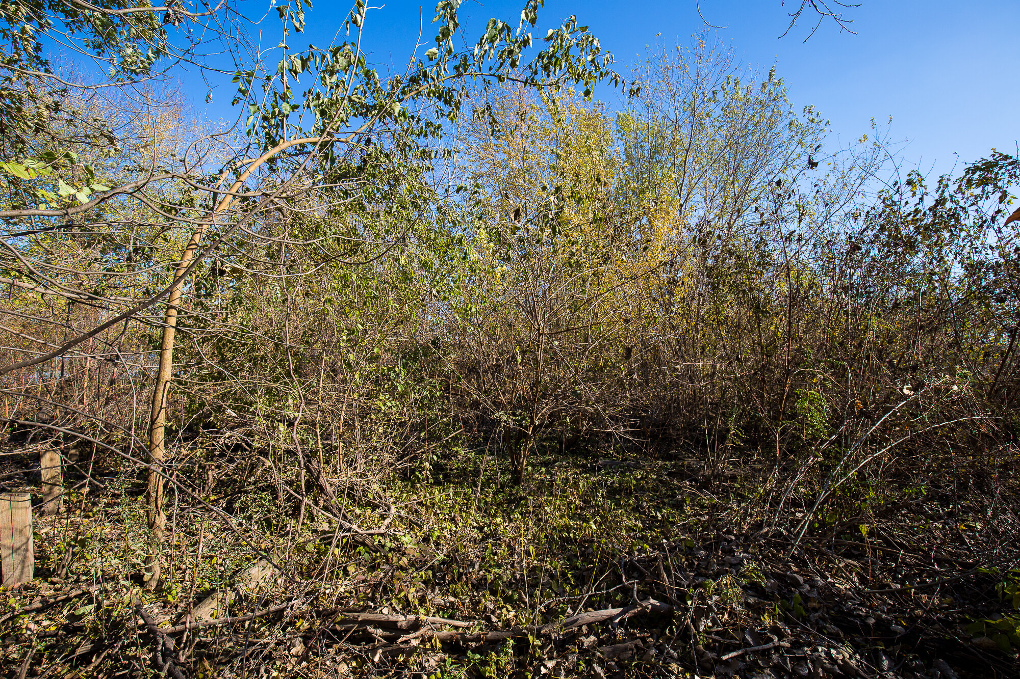
Floodplain forests are the product of disturbance, competition, and succession. A disturbance, such as an annual spring flood or late-summer fire clears the ground and prepares the soil for seeds. In the case of flood - the most critical disturbance in the Upper Mississippi - the spring pulse gives way to dry summers and fall. Last year’s acorns and walnuts, overwintered and cracked by below-freezing temperatures, soften with the flood and find fertile, silty soil to root in. The flood pulse kills off competitors and keeps the forest floor relatively clear of debris. Maple trees take advantage of the disturbance. Maples drop their helicopter seeds in the spring as flood waters are at their highest. They float in the millions and fall gently with the water. Young maple saplings sprout in early summer - a true competitive advantage.

Historical data gives us a model for succession in the Upper Mississippi. Water-loving pioneer species such as cottonwood and willow take root and serve as an anchor for sediment deposits and seed banks. Competition brings in a community dominated by elm, ash, oaks, and hickory - with a scattering of maples. The floodplain is eventually dominated by a mature community of maples. Once that community reaches its tipping point and dies, disturbances (again, flood and fire) will bring cottonwood, willow, oak, and walnut to the shores and the process begins again.

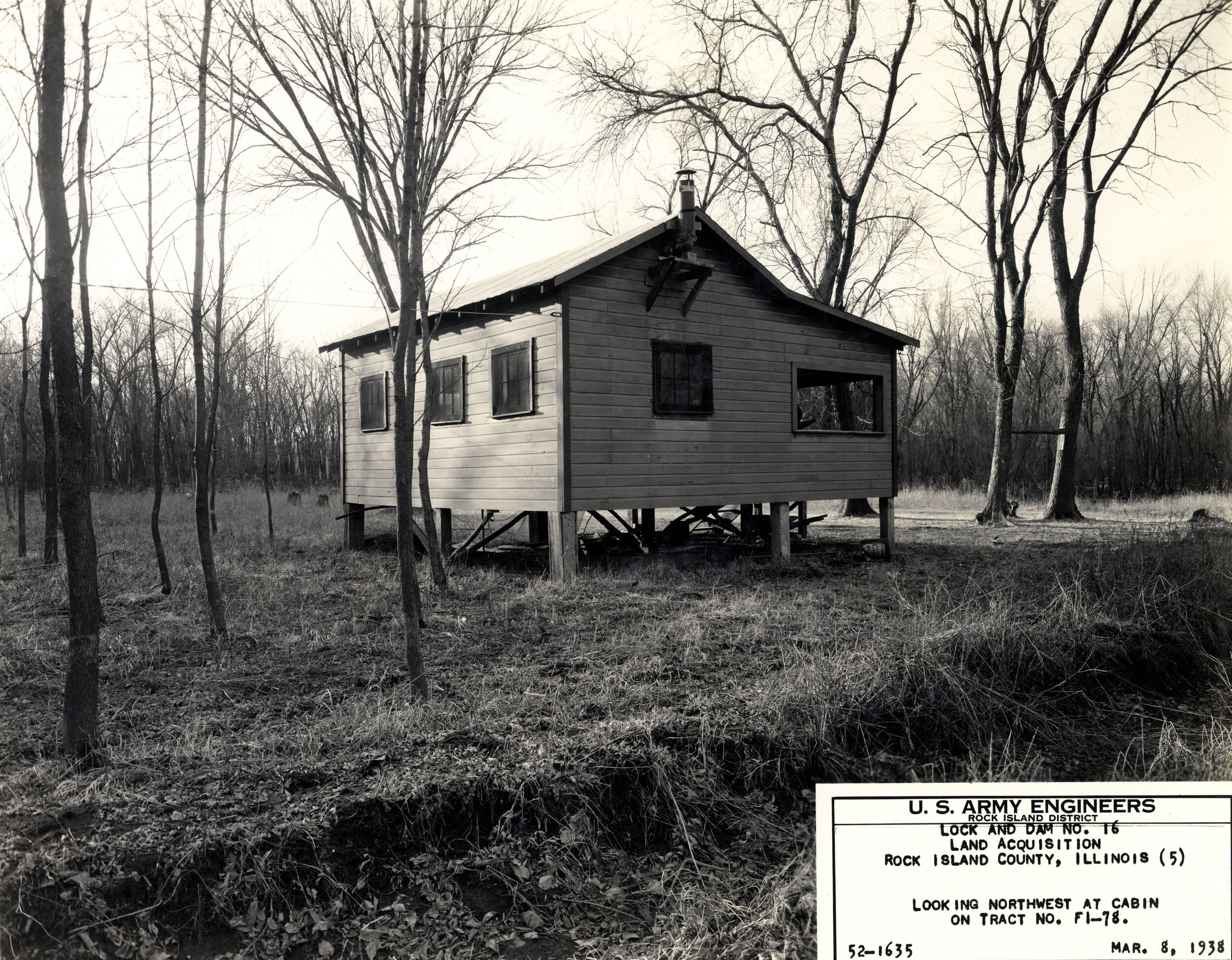
That is, if the disturbance and succession process is allowed to happen unabated and unaltered. Floods need to pulse, not stand. A quick examination of average annual water levels before the 9-foot project and after tell a clear story.


The above two graphs show water levels taken from a mid-pool gauge in Pool 16. The 1936-37 graph clearly shows the spring flood pulse and its recession during the hot summer months and cold, frozen winter. Though the lock and dam complex was completed in 1937, Army Corps engineers waited until 1938 to engage the tainter dams. The 1938-39 graph shows the immediate regulation of the flood pulse. The Corps held back river water to maintain a 9-foot commerce channel during the summer and fall - before the river froze solid.

The following graphs continue this story of control.

Between 1940 and 1959, the Army Corps opened dams during the winter months and allowed the river to recede. That policy changed in the 1960s and the corresponding graphs illustrate the 9-foot project depth mandate clearly. Lows never dip below 9-feet. High water marks, however, have grown in intensity and duration. In this sense, we can say that the spring floods still do come. They’re just starting from a greater depth and contain that much greater mass and energy.

And as a result, the 9-foot project has transformed the ecological landscape. Two Mississippi examines this transformation across a series of broad categories. In the Field Notes section, I further detail this transformation in the field.


Forest Change: A Monoculture Canopy - Continual flooding has had a dramatic impact on the diversity of the Upper Mississippi River forests. In some places, especially where high-water stands longest, little to no forest diversity exists. Maple have replaced the mix of nut and seed bearing oak, walnut, hickory, and sycamore trees. Maples out-compete nut bearing trees in wet environments. They close the canopy as well and therefore exacerbate wet soil conditions. These monoculture forests are spectacular in the fall - full of yellows and reds and oranges. In the winter they are silent and foggy. You rarely see any signs of animals. There’s nothing for them to eat, after all.

Forest Change: A Lack of Structure - A healthy forest has a a diverse and mixed structure, meaning this: it has a nice distribution of trees across the age spectrum - old giants, stately and mature middle-aged, strong and developing adults, young and malleable saplings, and precious and vulnerable seedlings. Data mined from the repeat photography process combined with field observations (and supported by literature) show that repeated flooding has significantly reduced the structure diversity. While older, larger trees fare better, saplings and seedlings are rare. After large flood events, maple trees seem to dominate. Maple “appears highly adapted to flood disturbance in the UMR (Upper Mississippi River) floodplain” (Yin et al. 2009, 470). Meaning this - the forest is getting older. And there isn’t a lot coming up to take its place.

Cover Change: Invasive Species - Invasive and exotic plants are the ultimate competitors. Lacking natural controls, such as fire, and resilient to high water, invasives have exploded along the Upper Mississippi River shores. This is particularly evident in places where human agricultural activity was present and along shorelines. Along the Upper Mississippi it is easy to find glossy buckthorn (Rhamnus frangula), spotted knapweed (Centaurea maculosa), Amur honeysuckle (Lonicera maackii), leafy spurge (Euphorbia esula), reed canary grass (Phalaris arundinacea), kudzu (Pueraria), and Multiflora Rose (Rosa multiflora). They spread easily and at will. Buckthorn and honeysuckle berries are full of seeds. They are lovely lures for songbirds - but they are also laxatives. Birds gorge themselves on the berries and then spread the seeds wide and far. Multiflora Rose grows in long snaking canes. It is often and well-described as a living fence. It readily invades disturbed areas due to its high tolerance for a variety of conditions. The plentiful seeds (an average plant produces a million seeds per year) remain viable in the soil for up to 20 years and are readily dispersed by birds. It is the bane of my existence.

Forest and Cover Change: A (un)Tangled Web - The 9-foot project has contributed to forest and cover density changes. In some places, forest and/or understory cover has grown in density - creating a jumbled landscape of living and dead trees. This tangled web is exacerbated by the lack of wildfire or managed prescribed burns (difficult to do in damp, often flooded forests). Fallen trees and overgrown forests slow and stall flood waters, become literal dams, and collect human trash and floating debris. However, in some cases the frequent floods have cleared the landscape and opened the understory and canopy. This is not always beneficial - usually this means that there are few saplings coming up to replace the aging canopy.

Changing Land: Shoreline Recession - The 9-foot project raised water levels to facilitate barge traffic. Each cargo barge is 195’ long and 35’ wide. Barges bound upriver usually carry sand, gravel, fertilizer, salt, and cement. Downriver-bound barges are laden with grain - corn and soybeans mostly - and Canadian potash for fertilizer. Each barge has a carrying capacity equal to 60 semi trucks. On the Upper Mississippi, crews load barges to a barges 9-foot depth and cable them together into a 15-barge “tow.” Four-story high towboats push the tows up and down the Mississippi.

They move slowly, but all that weight creates a tremendous amount of water displacement. Displacement takes the form of wave energy and that energy works constantly to erode shorelines. The wakes from recreational boats and increased “fetch” magnify erosion.

Shoreline loss is a management problem for the Army Corps. Island soil fills the channel. Trees fall and become hazards. Habitat, and a place, is lost forever. To combat shoreline loss, the Army Corps wraps islands with rock “rip-rap.” But they can’t do that everywhere.

Changing Land: Shoreline Growth - The Upper Mississippi is a sediment transport system. Sand, clay, and silt from a thousand tributaries flow through the Upper Mississippi. Slow water sorts and sifts and eventually deposits sediment. And the 9-foot project dams slow the river. Each pool repeats a pattern - at the top of the pool, furthest away from the next dam, the water flows with greater speed. It picks up sediment and carries it suspended in its water column. By mid-pool the water slows. Heavier sands fall out of the column and are deposited on shorelines and in the channel. At the end of the pool, near the dam, the water slows even more and the silt and clay stack up. Islands and sand bars grow - especially around Army Corps wing dams and water control structures. In the photos below we see a shoreline cabin. In the distance is a small sandbar. The repeat photo recaptures that shoreline, now a small gully. Sediment has accreted between the sandbar and the past shoreline and has created nearly 500 meters of new land.

Rising Water: Inundation - Inundation is the most common landscape transformation on the Upper Mississippi. The Army Corps maintains a 9-foot minimum channel depth through dredging, river manipulation, and increased water levels. Low-lying landscapes are frequently flooded. The photos below show two types of common inundation. Photo 52-1635 shows low-lying inundation which is seasonal. Photo 390-1727 shows complete inundation. Original 390-1727 was taken late in the process (May 4, 1940) and the landscape already shows inundation from the just completed Pool 17 dam.

Rising Waters: Slough and Wetland Habitat - The Upper Mississippi River is critical habitat for migratory waterfowl. According to Ducks Unlimited, the Upper Mississippi River flyway “funnels more waterfowl to their wintering grounds than any other flyway.” Year-long high water fills forest sloughs and floods abandoned farm fields. During the winter, bald eagles make their aeries along back-water sloughs where small whitefish breed and die by the thousands. They become easy food for fledglings. Hundreds of thousands of mallards, canvasback, wood ducks, and Canadian geese make their fall and winter homes there. It is not uncommon to see a phalanx of pelicans take flight.

The Upper Mississippi River shoreline is also a collection of federal and state managed wildlife refuges. This public land is directly connected to the 9-foot project - the Army Corps obtained the land through eminent domain condemnation as a 9-foot project “flowage easement.” Unsure of how to best manage this land, the Army Corps handed large parcels to state and national fish and wildlife services.

The Levee Effect: An Ecological Transformation - Levees are flood barriers. The 9-foot project gave the Upper Mississippi more frequent high water periods. The Army Corps and local soil and water districts responded with higher levees. Levees protect agricultural and urban land from flooding. In doing so, levees cut the river from its natural floodplain. They prevent seasonal overbank flooding that is essential for soil nutrient recharge. Levees prevent the lateral flow of sediment, nutrients, and organisms between rivers and floodplains. Moreover, levees allow people to increase development in ecologically important wetland ecosystems. Though levees are the Army Corps’ main tool to mitigate flood damage, levees restrict flood pulses and therefore actually increase the flood duration and depth in the floodplain between the river and the levee. As such, we see very different ecological landscapes on either side of the levee.