The "Dry" Side of the Levee: Photo set 1635. Pool 16. Andalusia, IL.

I had just finished putting on my waders and was organizing my camera lenses as Max “Crud” Stark pulled up next to me. I’m used to this - people are rightfully curious - some are wary - of the stranger wearing waders, carrying a camera, survey gear, and a notebook.

“What are ya up to?" he asked.

I walked over to his car and gave him my Two Mississippi elevator pitch. I showed him the photos.

Sometimes people give me a look that reads, “well this is a waste of time. Why on earth would a grown man do this?” Mostly the people I meet are kind and generous. They’ve offered me rides, their stories, an occasional beer, and their enthusiastic support.


Max is in his mid-60s with a big smile and bigger energy. He’s in charge of the Village of Andalusia’s waste water treatment plant. I get the sense he’s held a lot of important jobs in Andalusia over the years. Max is the kind of guy that is glue to a small town on the banks of the Mississippi. He feeds geese and swans in the winter. He pulled over to talk to me because he thought I was a scientist dropping off more geese for him to take care of. Andalusia recently privatized their waste water treatment plant and Max is worried about what’s going to happen to his flock when he’s not there to feed them.

I ran into Max again later in the afternoon. He’d gone home and picked up a copy of Home on the River … in Andalusia, Illinois: A History …Compiled and Edited by Mary Shovar. He’d rescued it from a library cull (the last date on the checkout card was February 21, 2006). He gave it to me and told me that looking at these photos and talking with me had “made his day.”


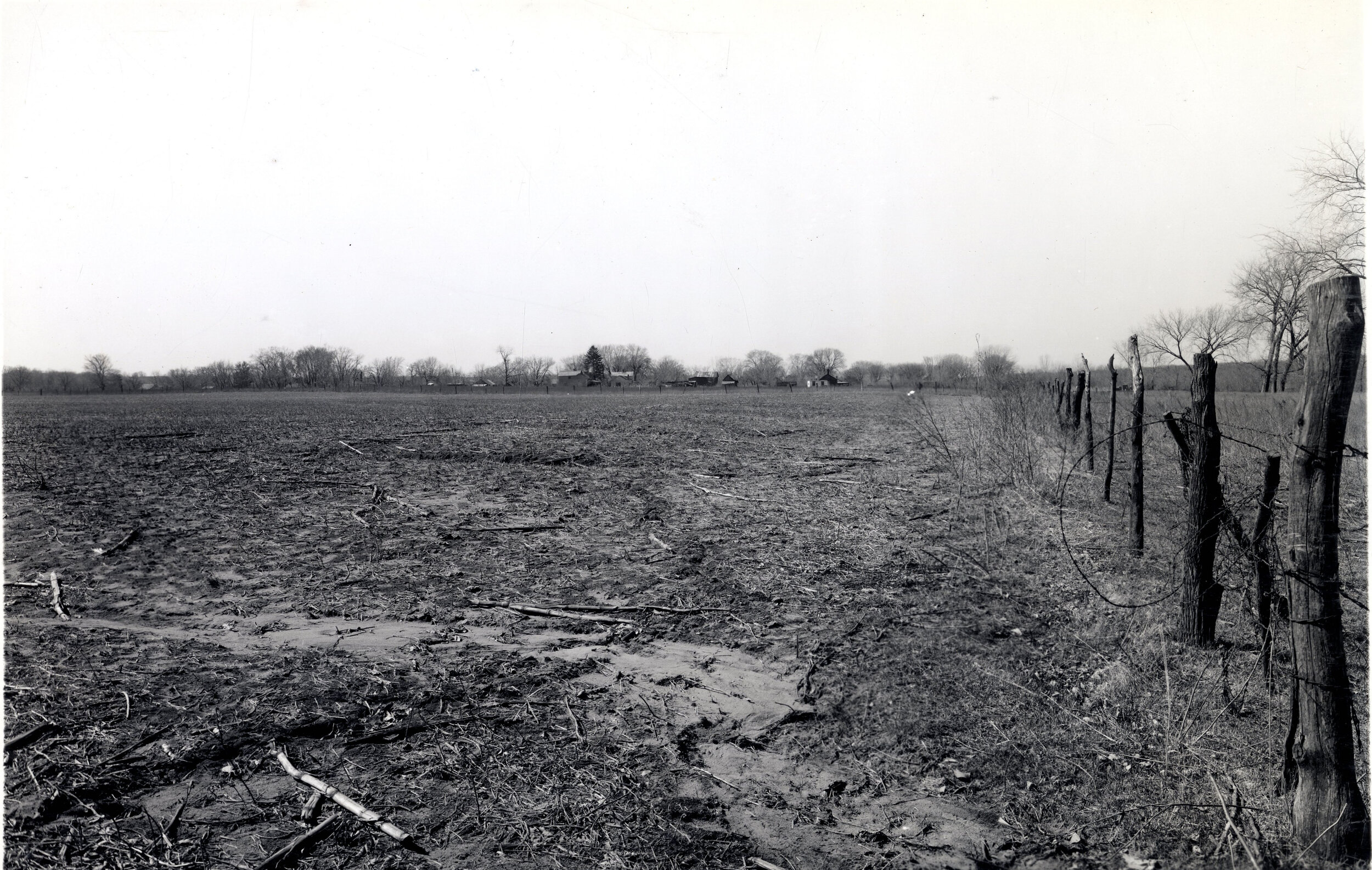
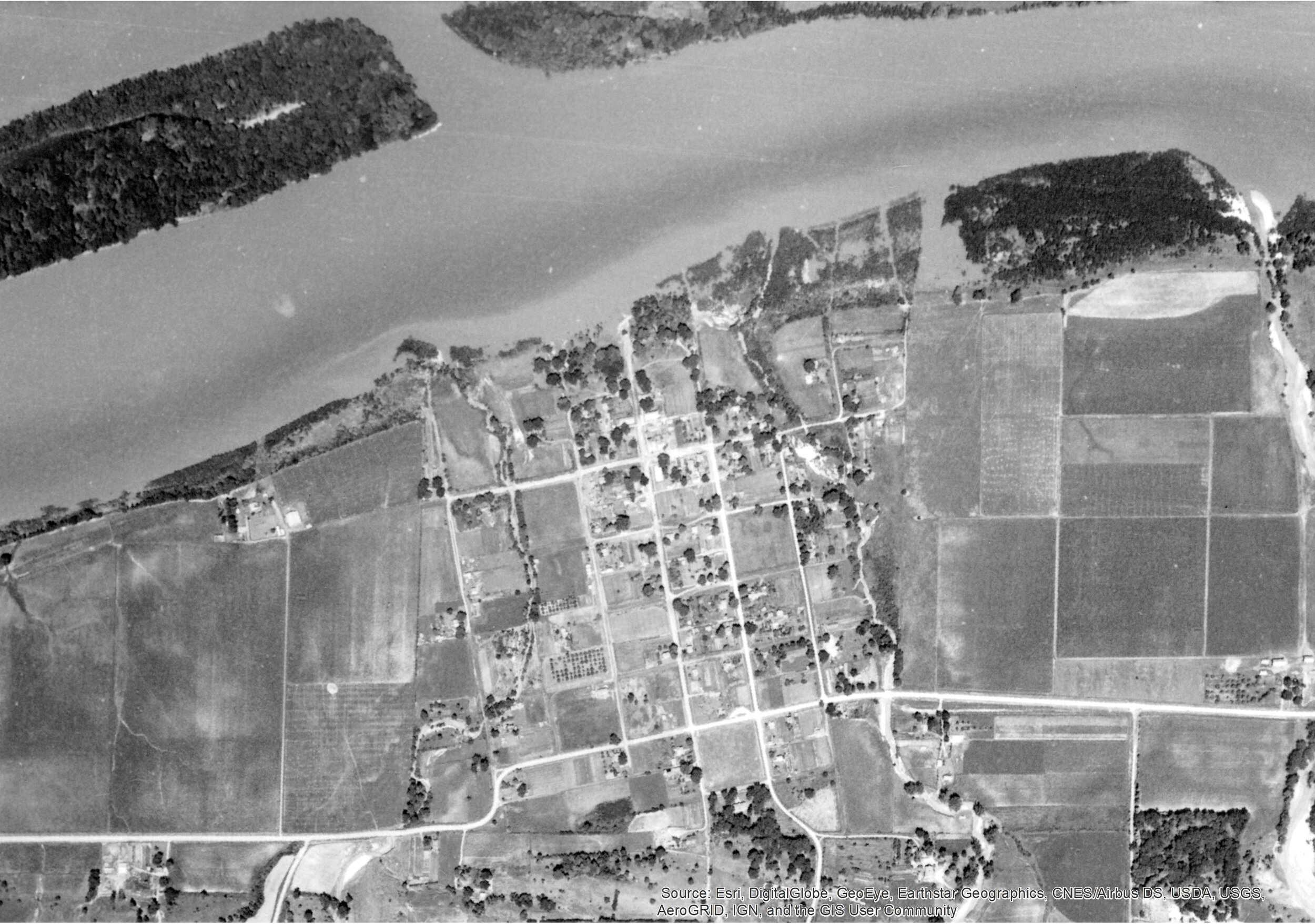
In 1938 between 250 and 300 people lived in Andalusia. Around 1,200 people live there today. Andalusia is close to the Quad Cities and is nestled between the high bluffs prevalent on the Illinois side of Pool 16 and the river. It’s a picturesque riverfront town set back from the flood-prone river with neat, well ordered houses and a marina. The town was an agricultural outpost and, like many river towns in the area before the invent of plastic, was home to a burgeoning mussel-shell button industry.

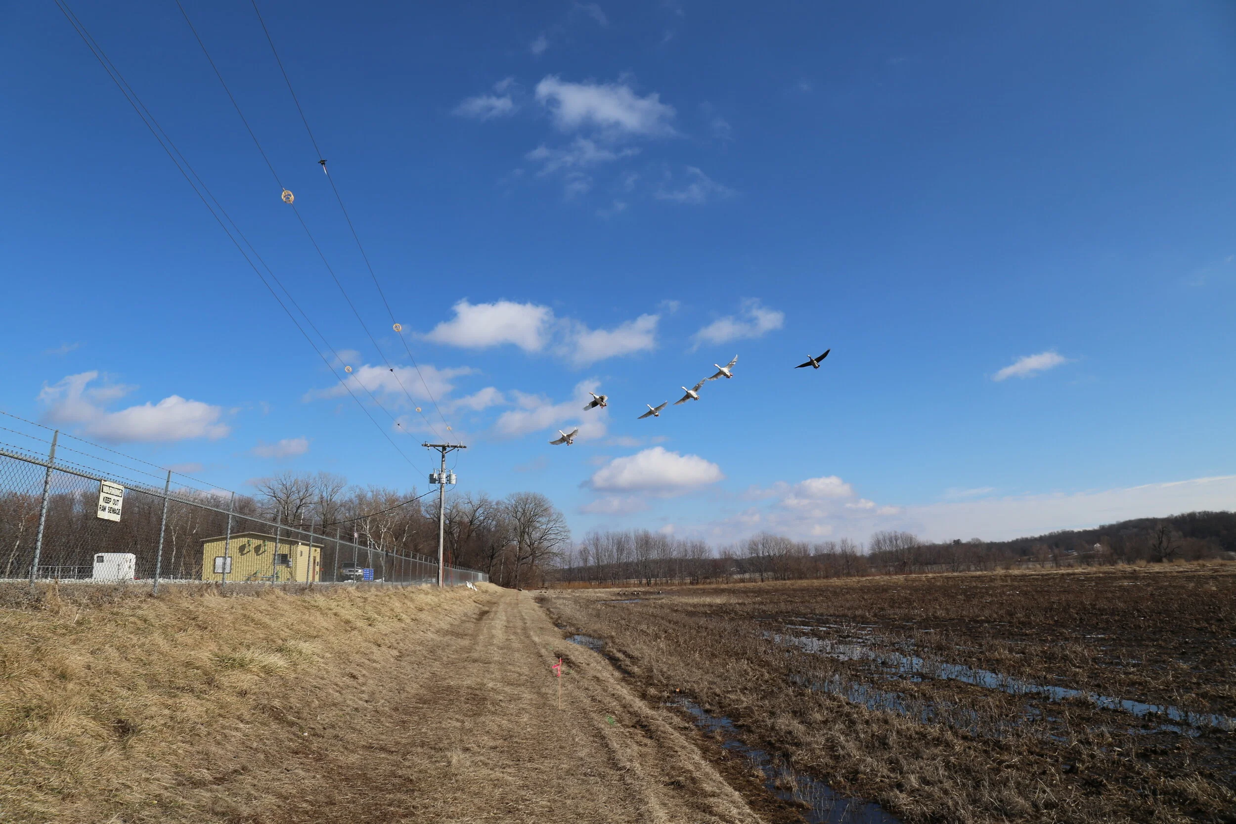
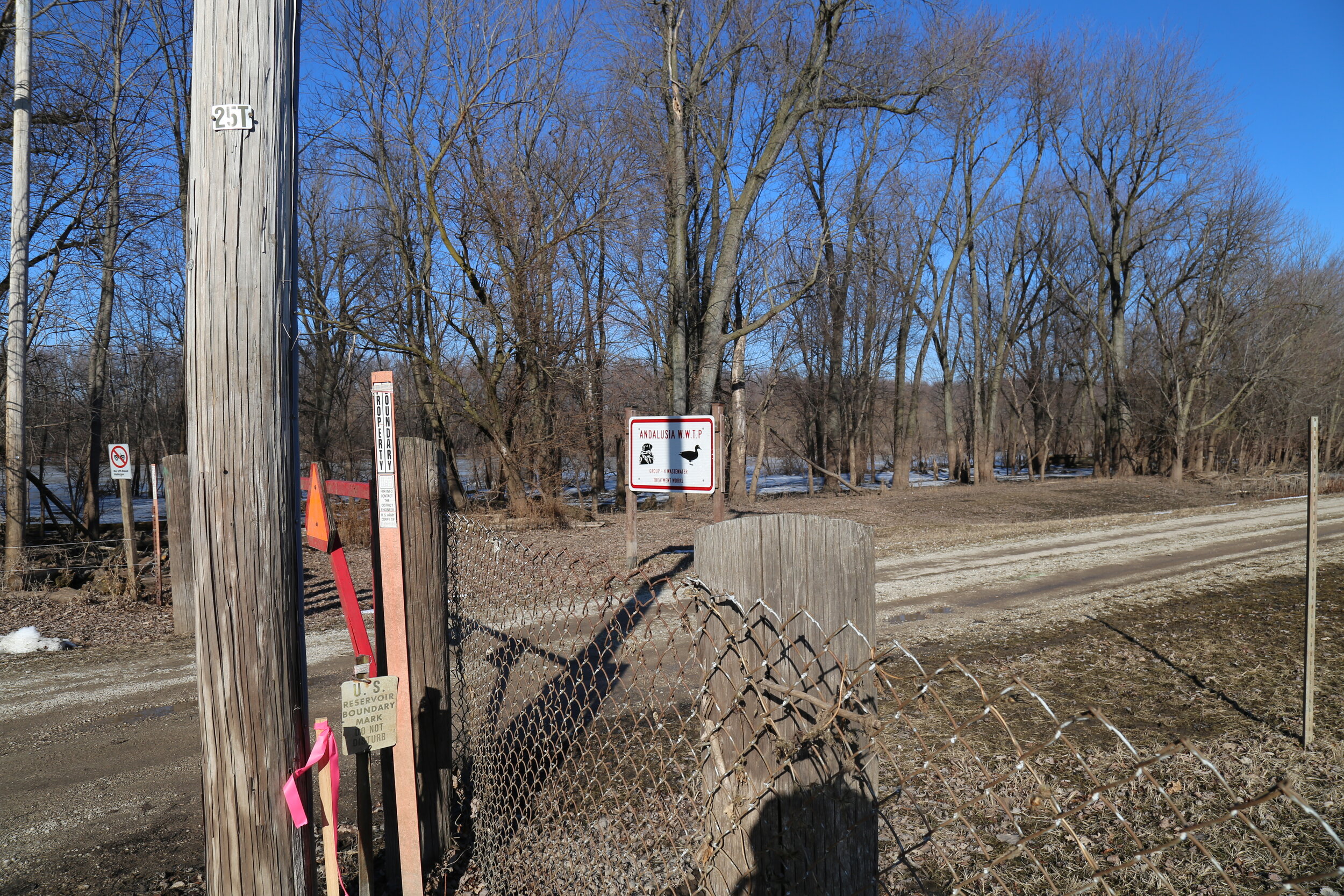
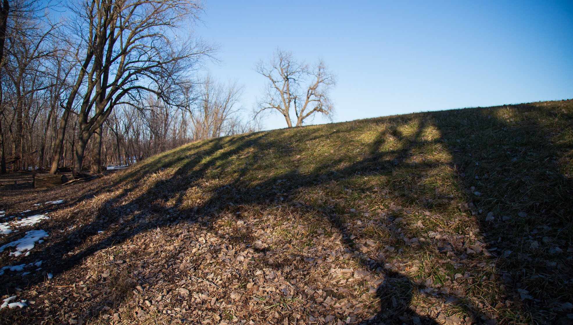
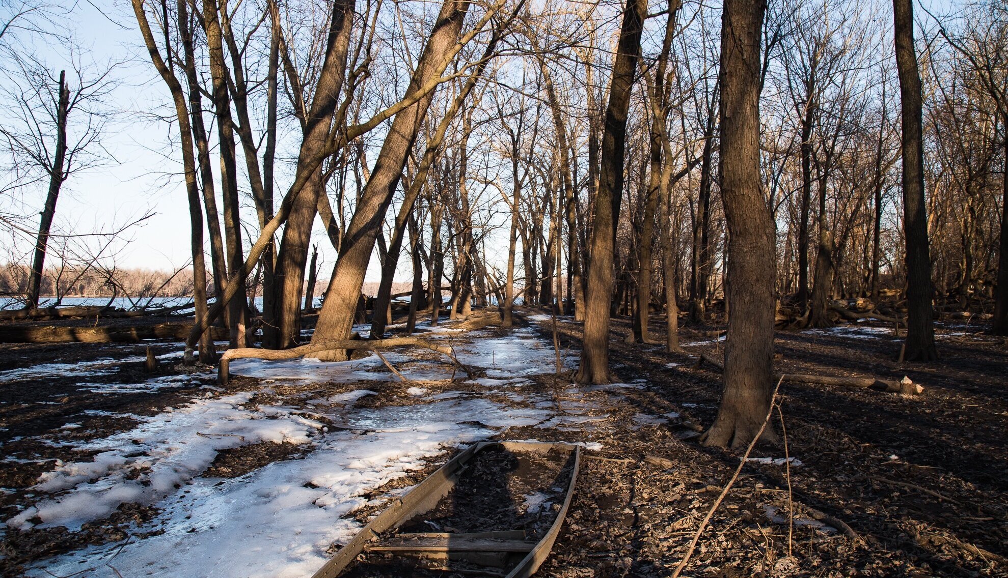
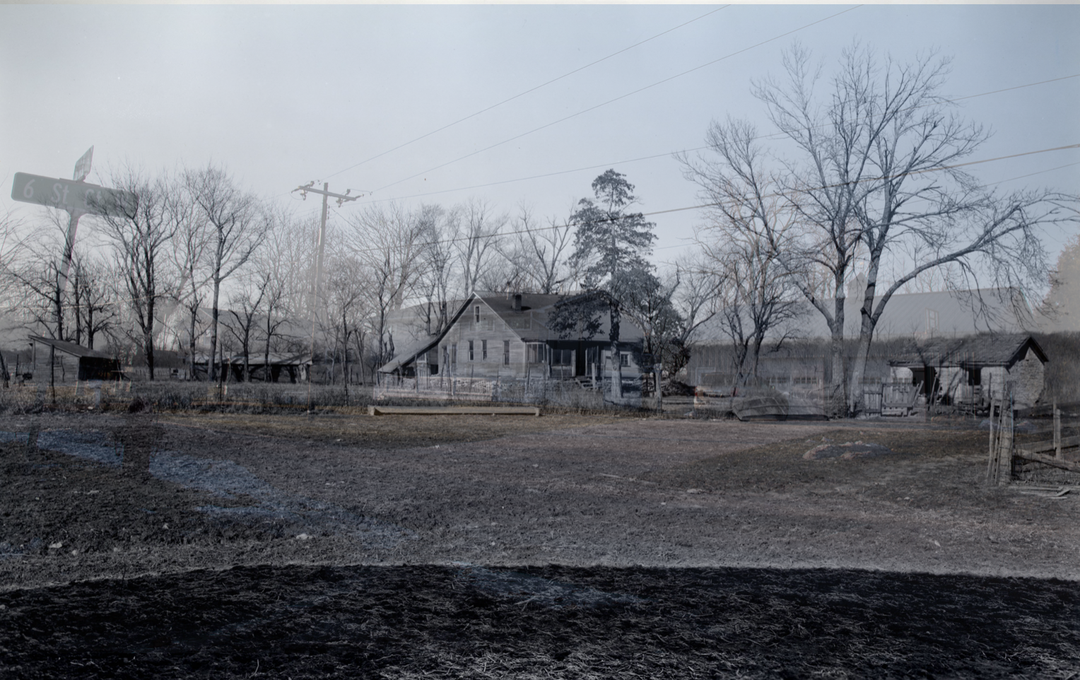
Like many small riverfront towns on the Upper Mississippi, Andalusia exists behind a levee. In 1965 flood waters devastated Andalusia. They came again in 1969. The Army Corps recognized the increasing inevitability of flood on the Upper Mississippi and prepared plans to build a mile and a half long levee separating Andalusia from the river. “The good guys wore the white (hard) hats. And rode black trucks instead of horses” wrote Peggy Plog in the Rock Island Argus. The levee was completed in 17 days, nearly encircling the town. Max came to Andalusia in 1966 and remembers the Village before the levee. “There was an old guy who had a shack there. There was a huge pile of trash next to it. I bet that all washed away.”

Levees are engineered to keep the land on the “dry” side beyond the 100-year flood line - with a few feet to spare. That term “100-year flood line” is confusing. It absolutely does not mean that flood waters will only come once in a century. It means that when the Army Corps, town planners, and mortgage insurers look at past records and make their best, calculated assessments, they believe that there is a one percent chance that a flood high enough to breach the levee will occur each year. It’s a gamble based on percentages and chance. It’s a hedge against the house, which usually, eventually wins.


Take Aways:

The Levee Effect: An Ecological and Human Transformation - I always feel strange standing behind a levee, cut off from the town or river by a mound of compacted sand and plastic. The levee works to keep rising flood waters away from the town - unless it doesn’t. In 2019, flood waters reached the top of the levee here in Andalusia. Drains and pumps struggled to keep up with water building up on the town-side of the levee. That’s a problem with levees - they hold water in too.

Levees are a boundary - an inverted V-shaped locus of control. On the “dry” side of the levee, people live, build homes, plant gardens. In the winter kids sled down the levee slopes - good sledding hills can be hard to come by. Once you cross over the levee you drop into the wild. On the “wet” side of the levee people only build hunting stands high up in sturdy trees. The order of the “dry” side is replaced by anthropogenic trash, a riot of fallen trees, and sometimes, sometimes, the tracks and signs of animals. I wonder if they are just as unconcerned about what happens on our side of the levee as people are of theirs?

Land Use: An Abandoned Agricultural Landscape. I parked at the end of the road on the west end of Andalusia. Aerial photos of the Andalusia floodplain fringe revealed farmland running almost to the Mississippi shore. As I climbed over the levee I left trimmed lawns and barking dogs and crossed into a densely wooded forest that bore no mark of ever having been a corn field. I edged my way around a thick copse of young maple trees growing so close together as to be near impenetrable. I’d wager these seeds were deposited with the high 2008 floods and then left undisturbed by fire, man, or flood (but not beaver) to grow. Towards the river, the forest opened up - on this side of the levee the river floods frequently and keeps sapling growth abated.

Repeat Photos taken 2/13/2020: 24