Posts tagged Geography
A View from the Ditch: Photo set 1780. Pool 17. Copperas Creek, IL.

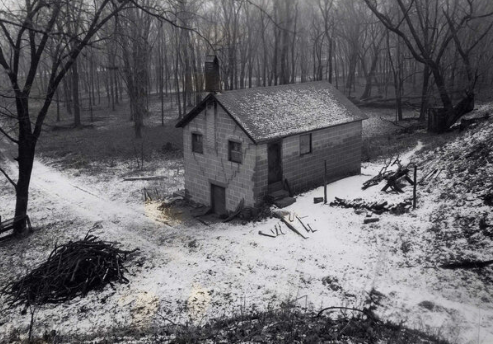
The 9-foot project threatened to impact Upper Mississippi farmers in ways they hadn’t thought. The project brought rising waters and drainage districts along the river had to face the realization that their levees might not hold. The Corps responded by taking flowage easements and filing condemnation suits along drainage canals in order to reinforce levee systems. This action further connected Upper Mississippi farmers to federal land and river management. This repeat photography set details how the Army Corps’ 9-foot project impacted the Copperas Creek drainage in western Illinois.

Read More
A Walk Along the Port Louisa Shore: Photo set 1724. Pool 17. The eastern edge of the Louisa District, Port Louisa National Wildlife Refuge.

The 9-foot project transformed large portions of the Upper Mississippi River into semi-private recreation landscapes. This walk along the Port Louisa shore uses repeat photography to examine that landscape change.

Read More
The "Dry" Side of the Levee: Photo set 1635. Pool 16. Andalusia, IL.

The 9-foot project was promising to small towns along the Upper Mississippi River like Andalusia, IL. It brought rising waters, which brought a levee. This repeat photography fieldwork conducted February 13, 2020 shows examples of the 9-foot project’s impact on riverfront town landscapes.

Read More
Back to the Beginning - a Return to the Bluff: Photo set 1858. Pool 18. South of Keithsburg, IL

The unique bluff topography of Pool 18 of the Upper Mississippi River, south of Keithsburg, IL yields deep and beautiful slough formations - perfect bald eagle habitat. This repeat photography fieldwork conducted February 6, 2020 shows examples of how the lock and dam system has contributed to slough formation, settler removal, and monoculture tree growth.

Read More